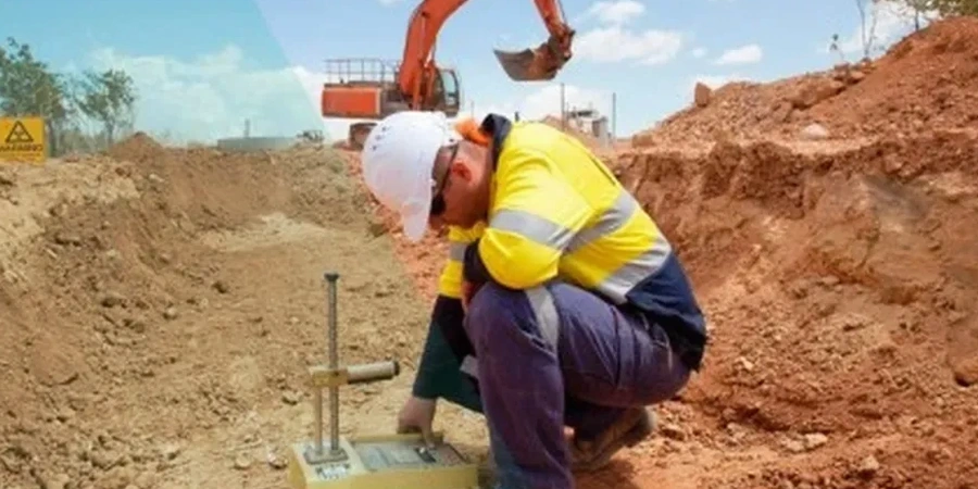
The equipment tells you a lot about the process. For seismic microzonation, we deploy a dense array of triaxial geophones linked by cable telemetry to a 24-bit seismograph—this setup captures shear-wave velocity profiles down to the basement rock beneath Dunedin. The city sits on a complex mix of basalt, schist, and thick alluvial sediments filling the Taieri Basin. At -45.8741 latitude, you are dealing with a basin-edge effect that can amplify ground motion significantly. The field campaign typically runs a grid of MASW soundings and microtremor recordings, providing the raw data for a Vs30 map that engineers can actually work with.
A microzonation map is the difference between a generic site class and a project-specific ground motion that can lower your foundation costs.
Methodology applied in Dunedin
Local geotechnical conditions in Dunedin
The Abbotsford landslide of 1979 reshaped how Dunedin views ground risk; 69 houses were lost when a block of weakened schist slid on a lubricated clay seam. This event underscores why generic seismic hazard maps are insufficient here. The residual soils derived from Otago Schist can lose significant strength under cyclic loading, and the reclaimed flats around the harbour are prone to liquefaction and lateral spreading. A site-specific microzonation identifies these discrete pockets of high strain, helping you avoid the expensive mistake of designing to an incorrect site subsoil class. Missing this step can result in a structural overdesign that inflates steel and concrete quantities by 20 to 30 percent unnecessarily.
Our services
A microzonation project typically requires complementary site investigation techniques to calibrate the geophysical models. We coordinate the following services under one technical scope:
HVSR Microtremor Survey
Single-station ambient vibration recordings to determine fundamental site period and validate the Vs profile. Essential for quick screening across large subdivisions.
Liquefaction Hazard Mapping
Integration of SPT blow counts, fines content, and groundwater level with microzonation results to produce spatial maps of liquefaction potential index.
Site Response Analysis
One-dimensional equivalent-linear or non-linear ground response analysis using input motions matched to the Dunedin seismic hazard spectrum.
Common questions
How long does a microzonation study take for a typical Dunedin subdivision?
Fieldwork on a 2-hectare site usually takes 2 to 3 days with a two-person crew. Processing and reporting follow within 10 to 12 working days.
Can microzonation reduce my foundation costs?
The reference range for this service in Dunedin is NZ$7.590 - NZ$28.270. The final price depends on the project scope and volume.
What is the typical cost range for seismic microzonation in Dunedin?
The service generally ranges from NZ$7,590 for a small single-lot assessment to NZ$28,270 for a detailed multi-hectare study with full liquefaction mapping.