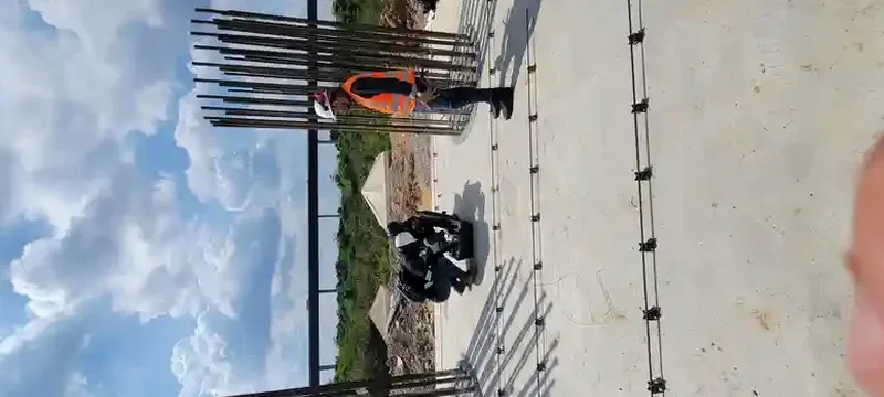
NZS 1170.5:2004 requires defensible site subsoil classification for every structure in New Zealand, and in Dunedin the ground conditions make assumptions dangerous. The city sits on a complex patchwork of Miocene basalt, schist bedrock, and deep alluvial silts along the Leith and Taieri catchments. A site that looks like rock from the surface can overlie 15 metres of soft sediment, shifting the site class from B to D and doubling seismic coefficients. The MASW method measures shear wave velocity directly from surface arrays, producing a Vs profile that feeds straight into site period calculation and spectral shape factor C(T) under NZS 1170.5. For sites near the harbour edge or on reclaimed land, we pair MASW with seismic microzonation studies to capture lateral variability that borehole methods miss.
In South Dunedin's deep alluvial basin, Vs30 alone can misclassify a site — the velocity contrast at 20 metres depth often controls amplification more than the upper 30-metre average.
Methodology applied in Dunedin
Local geotechnical conditions in Dunedin
A five-storey apartment block designed for Site Class C on a central Dunedin lot was found during construction to overlie 12 metres of loose silty sand — the Vs profile from a single borehole had missed the velocity inversion entirely. The resulting redesign of foundation elements cost the developer six figures and delayed occupancy by eight months. This scenario repeats across Dunedin because pre-consolidated silts near the surface mask soft layers at depth. Surface wave testing detects these inversions through higher-mode dispersion analysis. The risk is not hypothetical: the 1974 Dunedin earthquake produced ground strains in the South Dunedin basin that exceeded predictions based on surface geology alone. A single MASW line, properly processed and combined with even one calibration borehole, eliminates the blind spots that plague site classification in this city.
Our services
Our Dunedin MASW services cover the full workflow from survey design through to site classification reporting. Each project is led by a geophysicist who processes dispersion data in-house — no black-box software defaults.
Vs30 Site Classification
Single or multiple MASW lines to determine Vs30 and assign NZS 1170.5 site class. Includes fundamental-mode dispersion analysis and 1D inversion with misfit assessment.
2D Shear Wave Velocity Cross-Sections
Stitched MASW arrays along linear profiles to map lateral velocity variations. Used for seismic microzonation, pipeline corridors, and sites with known geological transitions.
MASW plus Borehole Calibration
Combined surface wave and downhole SPT data to build site-specific Vs-N60 correlations. Reduces uncertainty in liquefaction triggering analyses for South Dunedin basin sites.
Common questions
What does a Dunedin MASW survey cost for a standard residential site?
For a single-family residential lot in Dunedin requiring one MASW line with Vs30 classification and a brief report, costs typically range from NZ$3,040 to NZ$5,920 plus GST. The spread depends on access conditions — sites on steep sections in Maori Hill or Roslyn that require hand-carried equipment push toward the upper end.
How deep can MASW investigate in Dunedin soils?
With a standard 46-metre geophone spread and sledgehammer source, reliable Vs profiles reach 25 to 30 metres in most Dunedin ground conditions. The practical limit is set by the lowest recoverable Rayleigh wave frequency — roughly 5 Hz with an impact source. Deeper targets up to 50 metres are feasible using longer spreads or passive-source (microtremor) array techniques, though these require larger site footprints.
Does MASW replace boreholes for site classification?
Under NZGS guidelines, MASW can be the primary method for determining Vs30 and site class, but a single calibration borehole significantly improves confidence in the velocity model. We recommend at least one SPT or machine borehole per site to confirm stratigraphy and provide index properties. The two methods are complementary — MASW gives continuous velocity profiles between borehole points.
How long does a MASW survey take and when do I get results?
Field acquisition for one MASW line takes about two to three hours on a cleared site in Dunedin. Processing and inversion add another day. We deliver a draft Vs profile and site classification within three to five working days of the survey, with the final signed report following within ten working days. Rush turnaround is available for construction-phase surprises.