NZS 3404 and the NZGS excavation guidelines form the backbone of any deep cut or hillside bench in the Dunedin region, where the geology shifts from weathered basalt to wind-blown loess within a single project footprint. This variability means standard monitoring approaches rarely suffice. The city's southern suburbs, from Caversham to St Clair, sit on complex colluvium that demands continuous deformation tracking rather than periodic visual checks. Our team draws on direct experience in these formations to deploy inclinometers, piezometers, and automated total stations that capture the subtle movements preceding a slope failure. Because Dunedin's rainfall intensity has increased measurably over the last decade, pore-pressure response is now as critical as lateral displacement for slope stability assessments during construction.
Monitoring is not about confirming that the ground is static; it is about identifying the rate of movement before it becomes a failure mechanism.
Methodology applied in Dunedin
Local geotechnical conditions in Dunedin
The instrumentation array deployed on a Dunedin hillside excavation typically includes a 0.6-metre-long inclinometer casing installed vertically within a 100-millimetre borehole, grouted in place with a low-strength cement-bentonite mix that matches the surrounding soil stiffness. This avoids preferential shear planes developing along the annulus. The probe itself is a biaxial MEMS accelerometer unit lowered on a control cable, reading every 500 millimetres of depth to map the cumulative deflection profile. Adjacent to this, a vibrating-wire piezometer with a high-air-entry ceramic filter sits at the suspected perched water table depth, transmitting pore-pressure data to a solar-powered data logger mounted at the crest. The risk of an undetected movement spike is magnified in Dunedin because many excavation faces are in unsaturated loess that can stand near-vertically for weeks before collapsing with little warning. Without continuous, automated readouts, a contractor may mistake the absence of visible cracks for stability, only to experience a sudden batter failure after a three-day rain cycle. The monitoring system eliminates that guesswork by triggering SMS and email alerts when displacement rates or pore pressures exceed the thresholds defined in the construction methodology statement.
Our services
Both the instrumentation plan and the data interpretation rely on a thorough understanding of the site-specific geotechnical model. The following monitoring packages cover the typical requirements for Dunedin's residential and commercial excavation projects.
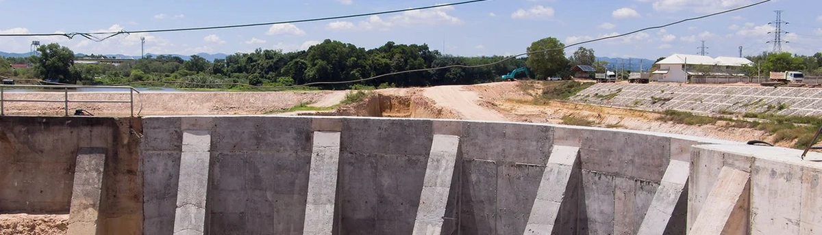
Deep Excavation and Retaining Wall Monitoring
Continuous inclinometer and load cell monitoring on soldier pile and shotcrete retaining walls in the CBD and hill suburbs, with automated reporting that tracks deflection against the predicted performance envelope from the wall design.
Slope and Landslide Monitoring Systems
Installation of real-time surface and subsurface arrays on slopes affected by the Dunedin Volcanic Group formations, including tiltmeters, extensometers, and rain gauges linked to a web-based dashboard for early warning during bulk earthworks.
Common questions
What is the typical monitoring duration for a residential excavation in Dunedin?
Most residential excavations in suburbs like Maori Hill or Roslyn require active monitoring for the duration of the cut and a stabilisation period of at least four weeks after the retaining wall is backfilled. The total programme often spans three to six months, depending on the winter rainfall pattern and whether groundwater control measures are installed.
How does the monitoring system handle the loess soils common in South Dunedin?
Loess is sensitive to moisture and can collapse structurally when saturated. We install shallow piezometers at one to two metres depth specifically to detect the wetting front during prolonged rain. Crack gauges are placed across any tension cracks that appear at the crest, and the inclinometer reading frequency is increased automatically when rainfall exceeds 20 millimetres in 24 hours, a threshold based on historic landslide-triggering events in the area.
Can the monitoring equipment stay in place after construction for long-term asset management?
Yes, the inclinometer casing and piezometers can be converted to permanent installations. The data logger and telemetry system are upgraded to a mains-powered unit with cellular modem, allowing the council or asset owner to continue tracking wall performance and groundwater levels years after project handover, which is increasingly requested for multi-storey developments under the Dunedin City Council consent conditions.
What do excavation monitoring services cost in Dunedin?
Instrumentation programs in the Dunedin area typically range from NZ$1,220 to NZ$3,840 per month, depending on the number of monitoring points, the types of sensors required, and the reporting frequency. A basic setup with one inclinometer, two piezometers, and weekly manual readings sits at the lower end, while automated real-time systems with robotic total stations, web dashboards, and daily engineering review fall at the upper end of that range.
What triggers an alert during active monitoring?
Alerts are triggered by two conditions: an exceedance of a predefined displacement rate, typically 5 millimetres per week for a supported cut in Dunedin's residual basalt clay, or a pore-pressure spike that exceeds 80 percent of the design value used in the retaining wall calculations. Both amber and red alert levels are configured, with red alerts requiring immediate suspension of work in the affected zone until the engineering team has reassessed the stability.